What We Do
GPS Survey & GIS Mapping

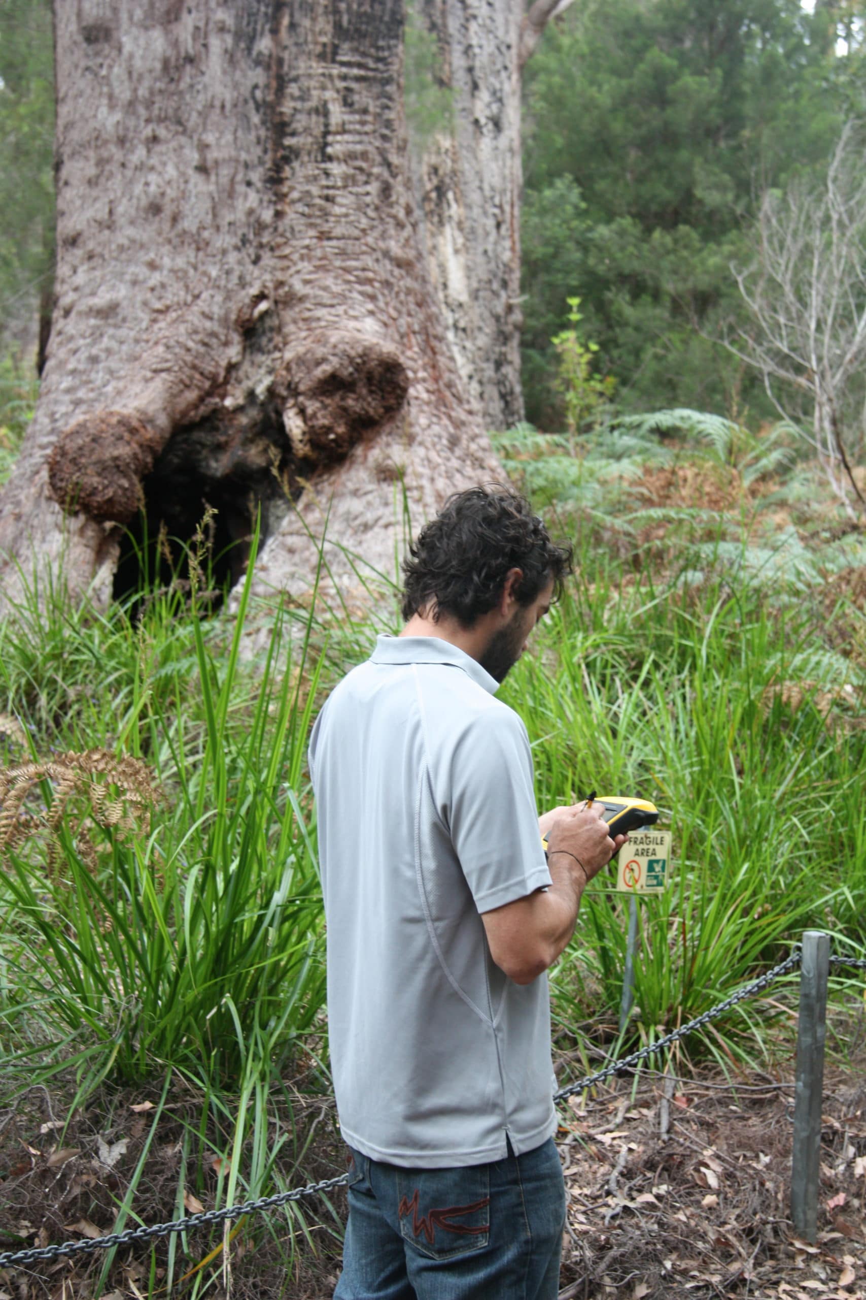
- Arbor Guy has experienced Cert II, III and Diploma (AQF Level 5) qualified Arborists that can map, gather relevant data and assess trees over large areas.
- Our Arborists can conduct VTA [Visual Tree Assessments], QTRA [Quantified Tree Risk Assessments], VRM [Visitor Risk Management] assessments.
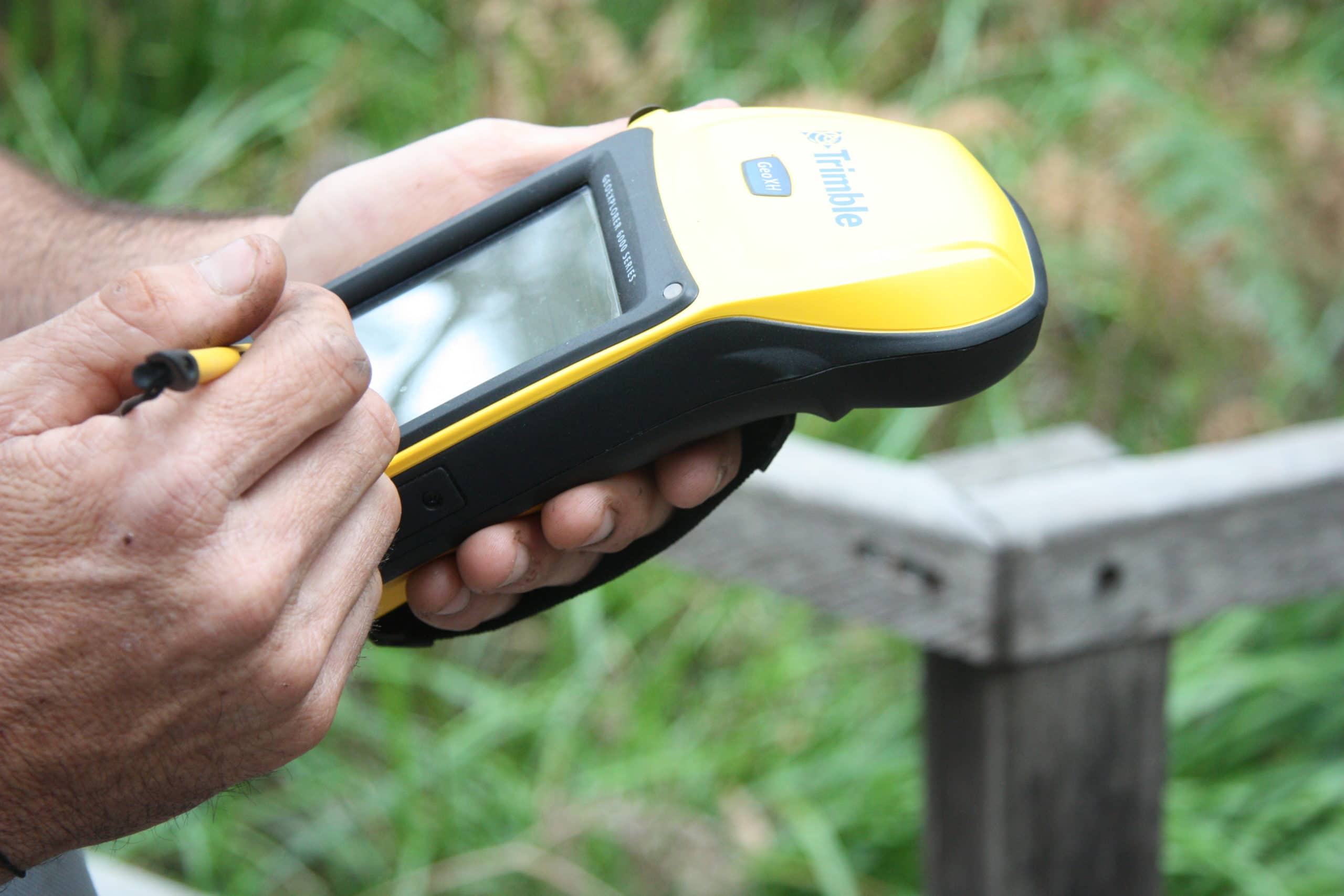
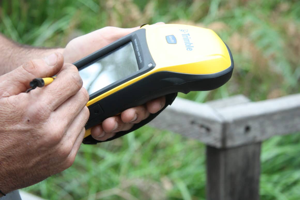
- Arbor Guy is able to generate accurate maps and databases using GIS [Geographic Information System] and GPS [Global Positioning System].
- Arbor Guy's systems are compatible with commercial programs such as Autocad, MapInfo, Geobasemap, ESRI Arcview/Arcpad and Pathfinder.